Skip to content
Pride Month: Advancing Belonging Through Visibility, Scholarship, and Community
Apply
Stories

New data tool boosts preparedness for potentially deadly flooding

People in this story

Attendees look at a marked up map of the Guadalupe River during a Texas state Senate and House Select Committees on Disaster Preparedness and Flooding public hearing, in Kerrville, Texas, Thursday, July 31, 2025. (AP Photo/Eric Gay)

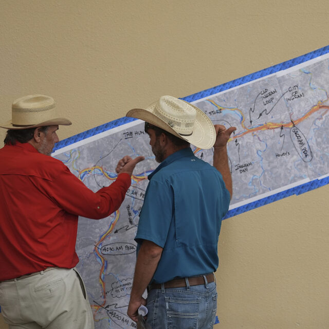
When extreme weather strikes, the preparations of emergency planners can have life-or-death consequences. In July 2025, central Texas flooded with disastrous consequences, killing more than 130 people. The National Oceanographic and Atmospheric Administration (NOAA) provides a publicly available computer model of the complicated waterways of the United States that includes historical and forecasted flooding data for the entire country. Unfortunately, many non-technical users have found the model difficult to use. A new tool spearheaded by Northeastern University, working alongside NOAA and a consortium of other collaborators, interfaces with the National Water Model (NWM) to make its data comprehensible to non-technical community members involved in flood and emergency preparedness.

Continue reading at Northeastern Global News.

More Stories

10/21/19 - BOSTON, MA. - Phil Brown, director of the Social Science Environmental Health Research Institute and University distinguished professor of sociology and health sciences, poses for a portrait on October 21, 2019. Photo by Ruby Wallau/Northeastern University

This researcher is building a future free of forever chemicals

06.25.2026

Young adults given up to $1,000 to start investing in groundbreaking new study

06.23.2026

The Defiance of Marjane Satrapi

06.25.26
In the News