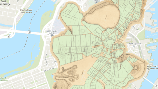
This page has frameworks and guidelines for designing and creating visualizations and working with geographic data for analysis.
Tools and Tutorials
- Northeastern Library Subject Guide – Guides to using spatial datasets, GIS, and other visualization software. Curated by the Northeastern Library Senior Data Analyst Bahare Sanaie-Movahed.
- QGIS Tutorials – A collection of tutorials for using the open-source GIS software QGIS from basic introductions to advanced tools. Written by Ujaval Gandhi.
- Carto – A proprietary web spatial analysis and mapping platform with free student trials. See Becoming a Spatial Data Scientist, an E-book guide on how to use Carto mapping software, to learn more.
- Open Source GIS Tools – Links to free, open-source GIS software like Teach GIS, GRASS, and Quantum GIS, among many others.
- SketchUp – 3D Modelling Software for Architecture, Interior Design, and Spatial Visualizations.
- Drawing Beautiful Maps Programmatically with R, sf, and ggplot2 – An R tutorial that teaches how to draw maps in R using the popular sf and ggplot2 packages. Written by Mel Moreno and Mathieu Basille.
- Introduction to Visualizing Spatial Data in R – An article on spatial data in R. Written by Robin Lovelace, et al.
- Making Maps with R – A chapter of Geocomputation with R on how to create maps with R packages. Written by Robin Lovelace.
- Making Maps with R – Material from a “Reproducible Research Course” on making maps in R. Written by Eric C. Anderson of NOAA/SWFSC.
- Create a Map with Tableau – A tutorial on how to build basic maps, with multiple options for filtering. Written by Miriam Posner of UCLA.
- How to Build an Interactive County-Level Map in Tableau – A tutorial on how to make an interactive map in Tableau, published on Storybench, a “cookbook for digital storytelling” produced by Northeastern’s School of Journalism.
- 3 Ways to Make Magnificent Maps in Tableau – Tutorials on using Tableau to make dual-axis maps, integrating with MapBox, and adding data at different levels of analysis. Written by Ryan Sleeper of PlayfairData.
Data
- Boston Data Portal – Mapping data provided by the Boston Area Research Initiative (BARI).
- Boston Housing Data – Mapping data specific to Boston and its suburbs.
- GIS Datasets – Links to a variety of GIS datasets collected on the Northeastern Library’s GIS subject guide.
- GIS Shapefiles Database – A repository of mapping data from a variety of sources and agencies.
- United States Census Data – Geocoded data from the United States Census Bureau.
- USGS GIS Data – Mapping data provided by the United States Geological Survey.
